
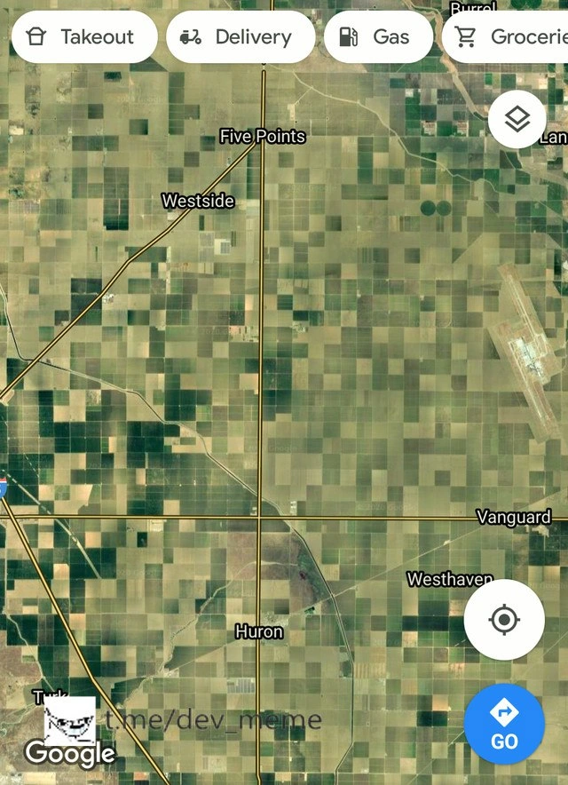
California Road Grid as Commit Graph
Description
A Google Maps satellite screenshot shows an agricultural grid in California with long straight roads, diagonals, and intersections that resemble branches and merges in a version-control history. The visible UI includes pill buttons labeled "Takeout", "Delivery", "Gas", and a partially cut off "Groceries", plus map labels such as "Burrel", "Five Points", "Westside", "Huron", "Vanguard", "Westhaven", "Google", and a blue "GO" button. The source caption says, "This region of California looks like a GitHub commit log," turning real-world road geometry into a Git history visualization. The humor works because engineers immediately recognize the branching-line pattern as the kind of commit graph produced by feature branches, merges, and long-lived parallel work.


Comments
1Comment deleted
Somewhere in that road network is a feature branch that missed three releases and now owns the county's schema migration.